RPAS/sUAS FAIR data management effort
International Data Week (main site)
Remotely Piloted Aircraft Systems (RPAS, also known as small Unmanned Aerial Systems sUAS or colloquially as drones) are rapidly becoming a ubiquitous tool across a wide range of public and private sectors, from Disaster management and Search and Rescue, through to medical services, Earth Science Research, Geomatics, Agriculture, and Policing. RPAS offer the basic advantage of access to otherwise inaccessible and rugged terrains where minimal infrastructure makes all other means of access highly costly. But they are also cable of collecting higher spatial and/or temporal resolution data, reducing the impact of data collection on an environment, and lowering risk to workers and equipment. In many cases they are making data capture possible where it would otherwise be infeasable and in time spans that are useful for real time response.
All of which puts RPAS use as a key technology worth highlighting and developing at IDW that has been themed:Digital Frontiers of Global Science in 2018. As a result, local and international groups are joining together to plan multiple RPAS related sessions at the conference and events before and after it. IDW’s location in Gabarone Botswana, make this a key opportunity to connect the developed and developing world whome are both wrestling with technological challenges and opportunities as RPAS we embrace the solutions RPAS are enablng. In addition to conference sessions we have therefore proposed the following to external events:
-
At this time (April 2018) we are still looking for participant funding but have recieved approval from the conference organisers. If you would like to be involved or receive registration updates please contact us by joining the google group.
-
Also, if anyone is interested in sponsoring African researchers to attend please contact Jane Wyngaard, Center for research computing, University of Notre Dame
Flying week #ScienceHackathon
- dates: 29 oct - 2 november 2018
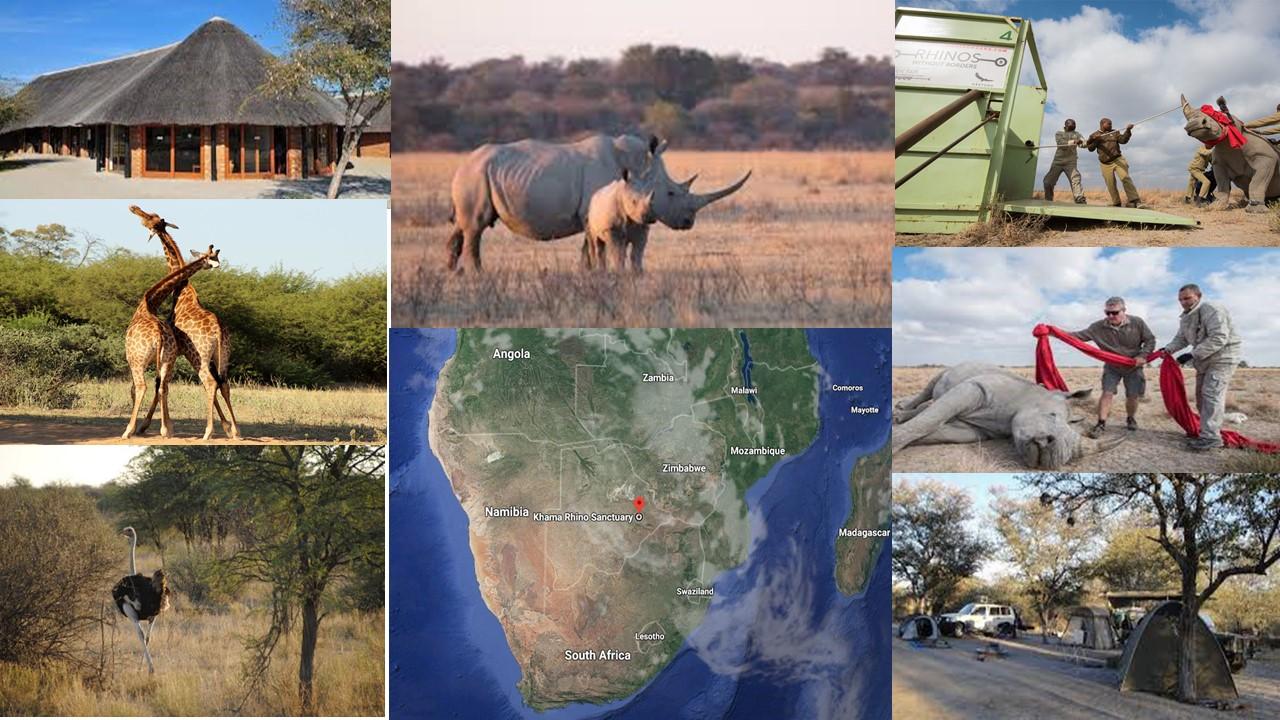
- location: outside gabarone botswana
- who: researchers using RPAS to capture data
- why: networking, collaboration, learning, research
- Provisional program

Datathon
- dates: 9 november 2018
- location: University of Botswana, Gabarone
- who: Researchers just considering or just begining to use RPAS to capture data
- why: networking, collaboration, learning, research This 1-day practical training and multithemed datathon will be hosted by the University of Botswana. The morning will see training modules presented addressing good RPAS data curation and processing practices. The afternoon will be dedicated to tutor facilitated exercises. That lead attendees through either an imagery based pipeline (eg 3d model creation) or an insitu sensor based pipeline (eg atmospheric temperature profiles).
SciDataCon drone sessions
- Call for abstracts is open until 31 May for talks and posters.
- Drone related sessions: ** Emerging tech in Agriculture ** Cross disciplinary drones for good in the developing world
